
In an earlier post I wrote about the hiking plans for this summer, with a two-week hike in northern Sweden. The initial route was planned for me hiking solo the first week, and then my friend would join me for the second week.
However plans have changed, since my friend was able to get away for two week. Our first plan was to hike Kungsleden together, according to my route. We found out though that during our second week Fjällräven Classic occured, which meant that we would meet thousands of hikers on our way to Abisko. It would not be as lonely and pristine as we’d like. That, and the fact that there probably would be fresh poop under virtually every rock on the path from Nikkaluokta to Abisko made us look elsewhere.
We had always talked about going to Sarek, which is part of the UNESCO world heritage site Laponia. Laponia is 9400 sq/km of protected lands in the arctic north, consisting of the national parks Muddus, Sarek, Padjelanta and Stora Sjöfallet, as well as the nature reserves Sjaunja and Stubba.
Kungsleden passes through the southern part of Sarek, but other than that there are no marked trails and very few bridges. There are some unmarked trail, but hiking in Sarek means finding your own route, and fording streams.
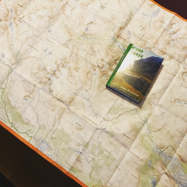
None of us have hiked in Sarek before, so I bought the book “På fjälltur; Sarek” by Claes Grundsten. There are several different routes described in the book.
None of them fitted us perfectly, as we wanted a circle hike for 10-12 days. But I used the book to make a route from parts of 11 different described routes.
 The plan is to drive to the parking lot next to the dam at Måhkkål, and hike the trail from there to the mountain hut Aktse. From Aktse we would hike up on the mountains north of Rapavalley. This way we get less mosquitoes and also (if the weather is good) get some nice views over Rapavalley.
We’ll then use a trail from the mountainside down to Rapavalley along Alep Vássjajågåsj, and follow that trail to Mikkastugan, where there’s a bridge. From there we follow Álggavágge down to Niejdariehpvágge. Then we’ll follow Sarvesvágge to the east before we round the mountain Noajdde. From there we’ll hike south west until we’ll find the trail to Pårek. Once on the trail, we’ll use that trail down to Kungsleden, hike Kungsleden back to Aktse and then back to the car at Måhkkål. From a rough calculation it should be somewhere around 180km. I am planning for exit routes and alternatives if we get delayed, hike slower than anticipated or otherwise need to leave faster for some reason.
The route is planned to get the most out of the trip. There is a mix of trails and off-trail hiking. We’ll see Rapavalley both from the mountains and down in the valley itself. While we’ll hike both high and low it still shouldn’t be too much elevation to handle.
My planned gear list for this trip
I really like planning trips like these. I think that the preparations is a major part of the fun of hiking. Studying maps and areal photos, planning routes, prepping food and looking through the gear. I can’t wait to get out again.

looks good.. don’t think you will need a headlamp though 🙂
LikeLike
Although you had to change your plan, still looks very promising.
I will certainly agree with your last paragraph, regarding the planning and preparations of such trips. The preparation part is certainly necessary and important and it’s great that you keep notes on what equipment you will be taking with you. Such approach helps also for future trips in order to remember which piece of equipment worked good and which piece didn’t.
Personally, I also have similar approach and if I visit an area that I have never been before, I particularly enjoy to study maps and to learn everything about the area I will be visiting.
LikeLiked by 1 person
Yeah, my friend and I put the finishing touch on the plans this weekend, with a slightly altered, but probably better, route.
LikeLike
Pingback: Overnighter on Laxaleden with the family in July – Småland Outdoor